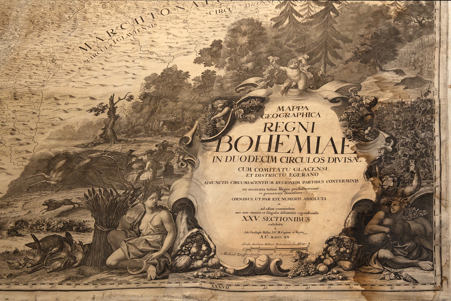
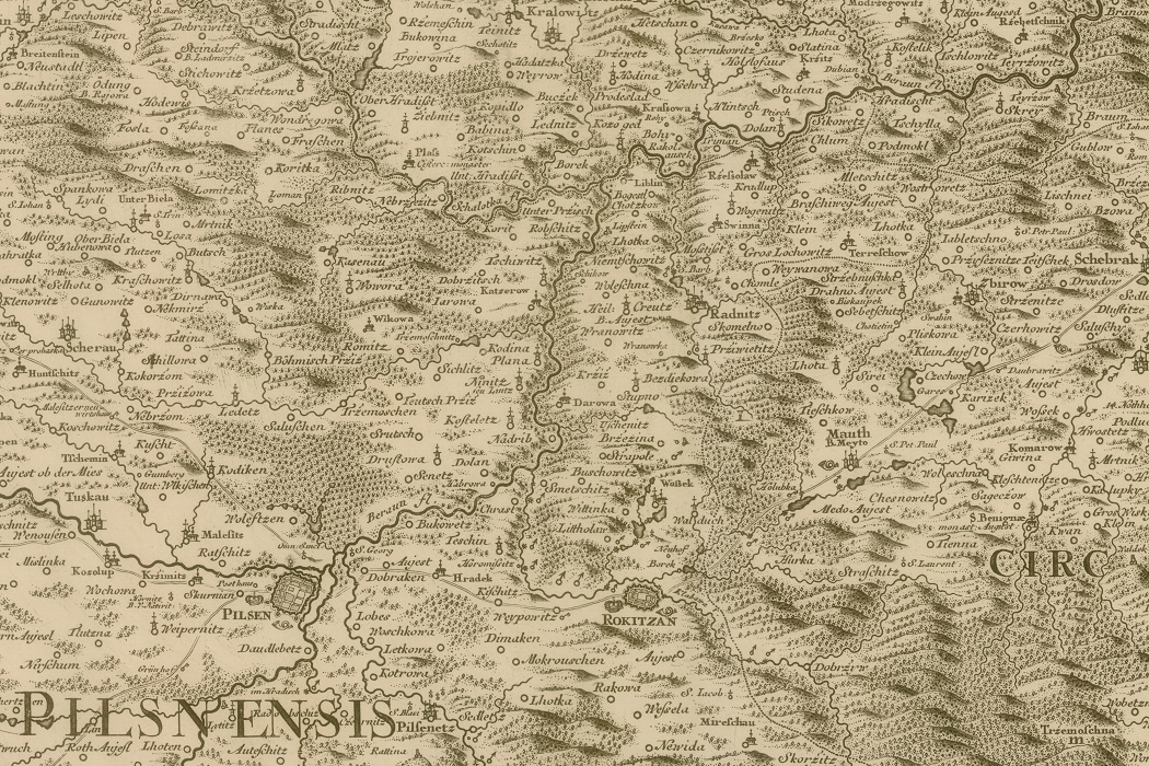
Traditionally, the National Technical Museum enriches the exhibition of the NTM Plasy Building Heritage Centre with selected “treasures” from its collections that stand out from the theme of building. In 2021, the 300-year-old Müller map of Bohemia was given pride of place in the Plasy exhibition. The original of one of the printing sheets and the matrix from which it was printed will be on display
Müller’s map of Bohemia is one of the most beautiful and valuable map works in our history. “The Mappa geographica regni Bohemiae … was made by the cartographer Jan Kryštof Müller in 1720. It was created on the basis of the military, administrative and economic needs of the Bohemian Kingdom and shows the whole of Bohemia at a scale of 1:132 000. It consists of 25 map sheets and its total size is an impressive 282 x 240 cm. It is a cartographic work that is the last major work of an individual. For a long time it became the basis for maps of Bohemia.
The collection of Müller’s map in the collections of the NTM is valuable for its completeness – the large map consisting of 25 sheets is supplemented by a reduced version, separate prints of individual sections (47 x54 cm), a clear sheet for easy orientation, and above all the original copper printing plates.

photo: NTM
The original of one of the printing sheets of Müller’s map and the matrix from which it was printed will be on display from 1 June to 31 October 2021 in the NTM CSD Plasy.

photo: NTM


